Switzerland

Articles from this Taxonomy

Le Cervin se nomme Matterhorn en allemand

Photos of the Matterhorn in Zermatt

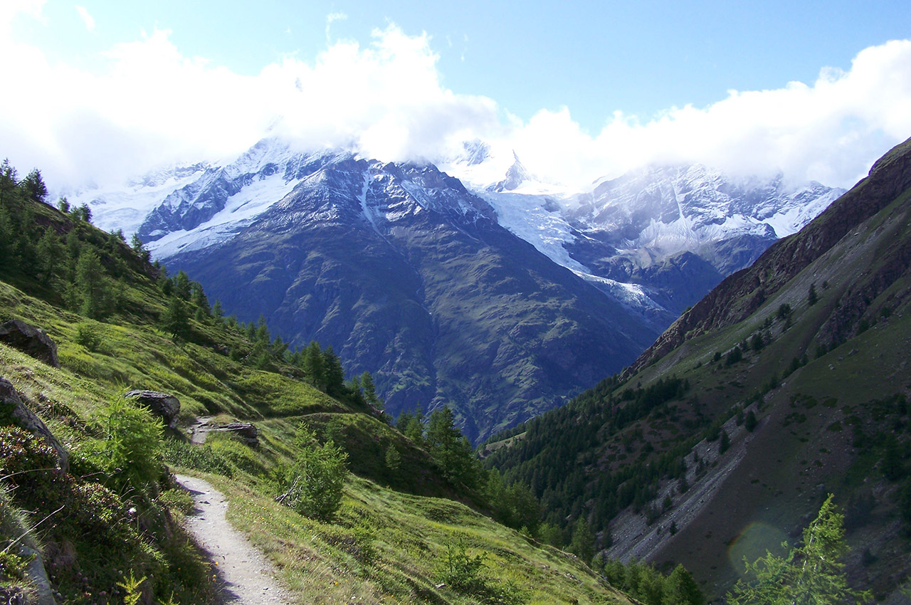
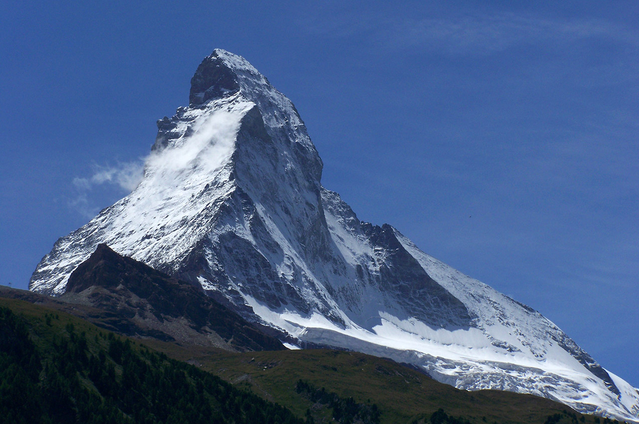
The Matterhorn and Switzerland are closely linked. This pyramid-shaped peak, renowned for being difficult to climb, is undoubtedly the most photographed mountain in the world. Opposite it stands the Klein Matterhorn, accessible by cable car. In 1865, the first ascent of the Matterhorn, which cost the lives of four of the seven climbers who attempted […]

Read more

Photos of Zermatt, Swiss authenticity

On the Italian border of Valais, the southernmost canton of French-speaking Switzerland, Zermatt nestles at the end of the 30 km Nikolaital valley, at an altitude of 1,620 meters and at the foot of the Matterhorn, the most photographed mountain in the world. Nearly a third of the Alpine peaks over 4,000 meters majestically surround […]

Read more
Le chemin de randonnée Europawag à proximité de Täschalp

Photos of the hike in Täschalp (Switzerland)

Total elevation gain: 761 meters Duration: 5 hours 30 minutes Lowest point: Täsch (1,449 m) / Highest point: Täschalp (2,210 m) Difficulty: 2/5 (elevation gain) / Technical: 1/5 In Täsch in the valley, the last stop before Zermatt and the place where you have to park your car, we leave it at the station car […]

Read more
Chalet en bois fleuri de géraniums

Photos of Randa, between Visp and Zermatt

The village of Randa, with its many hamlets, was founded in 1290 and first mentioned in a notarial deed in 1305. Together with Täsch, it belonged to the district of Naters until 1552, then to the district of Visp. The name Randa means “border” (from the German “Rand”). Its Baroque church, completed in 1717 and […]

Read more

Photos of the hike from Zermatt to Schwarzsee

Total elevation gain: 975 meters Duration: 6 hours 30 minutes Lowest point: Zermatt train station (1,608 m) / Highest point: Schwarzsee cable car (2,583 m) Difficulty: 3/5 (significant elevation gain and length of hike) / Technical: 1/5 In Zermatt, a car-free town, the best way to arrive is by taking the little train that climbs […]

Read more
Le chemin dans la vallée qui relie Täsch à ZermattLe chemin dans la vallée qui relie Täsch à Zermatt

Photos of the hike from Täsch to Zermatt

Total elevation gain: 180 meters Duration: 2 hours 10 minutes Lowest point: Täsch (1,449 m) / Highest point: Zermatt (1,620 m) Difficulty: 1/5 / Technique: 1/5 After parking the car in Täsch in the valley, take the small flat path that runs alongside the river and the shuttle train line connecting Zermatt, the famous Glacier […]

Read more
Vallons verdoyants et forêts à flanc de montagne

Photos of Täsch, Switzerland

Perched at an altitude of 1,449 meters, the village of Täsch has a population of around 1,000. It is located 6 km from Zermatt, a tourist destination famous worldwide for its majestic emblem, the Matterhorn. Täsch symbolizes the gateway to the grandiose and fascinating world of the Swiss mountains par excellence. Travelers leave their cars […]

Read more
Go top