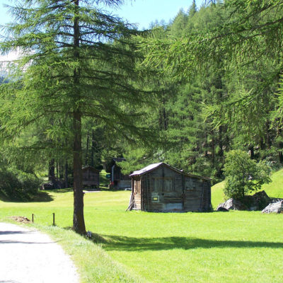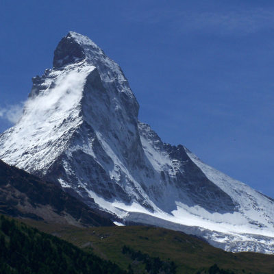


The village of Randa, with its many hamlets, was founded in 1290 and first mentioned in a notarial deed in 1305. Together with Täsch, it belonged to the district of Naters until 1552, then to the district of Visp. The name Randa means “border” (from the German “Rand”). Its Baroque church, completed in 1717 and subsequently enlarged, is a little gem. The highest point in the municipality is the summit of Switzerland’s highest mountain, the Dom, which rises to 4,545 m.
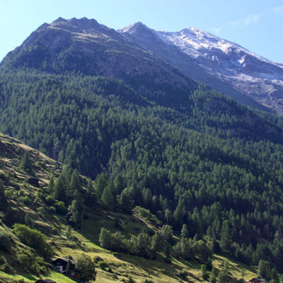
The hiking trails offer relaxation and variety. Mountaineers appreciate the access to the highest four-thousand-meter peaks in the Alps, the Täschhorn and the Dom. And it’s impossible to miss the scree cone that filled half of the natural cirque in 1991. Indeed, the village of Randa has been the victim of numerous natural disasters over the centuries. On the morning of April 18, 1991, gigantic boulders rolled down into the valley. Three weeks later, on May 9, huge masses of rock fell on the hamlet of Lerch, the road to Zermatt, and the Brig-Zermatt railway line. In the space of three weeks, nearly 30 million cubic meters of rock collapsed onto this region.
The village of Randa was visited in July 2011.
Click on the picture to enlarge it and discover its caption.