- Total ascent: 152 metres
- Duration: 2 hours
- Low point: Griffith Observatory (345 m) / High point: Mount Hollywood (490 m)
- Difficulty: 1/5 / Technique: 1/5
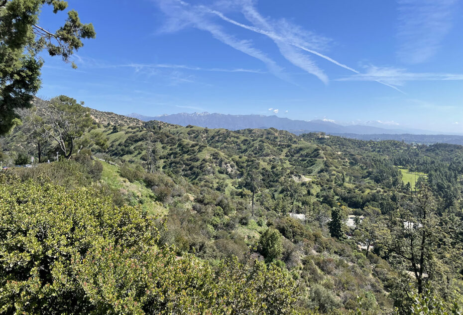
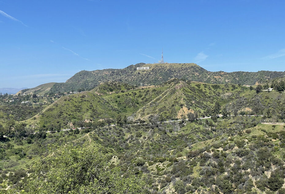
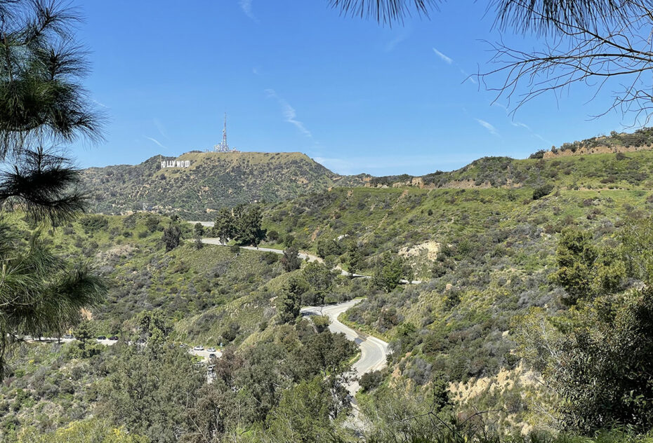
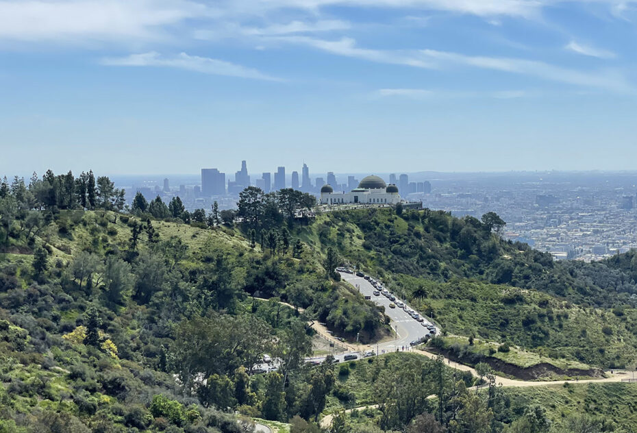
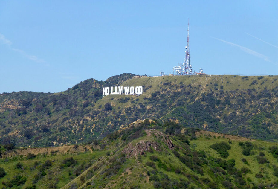
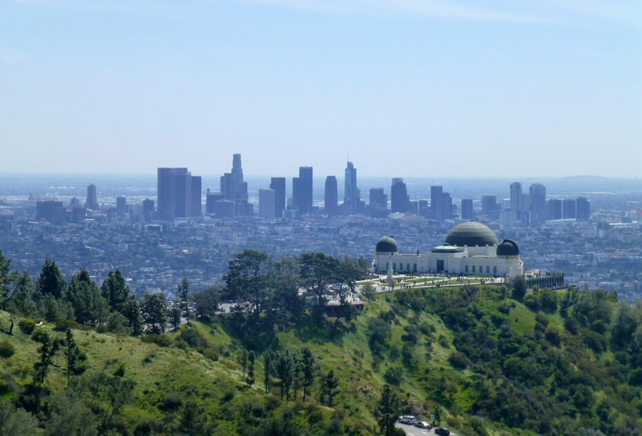
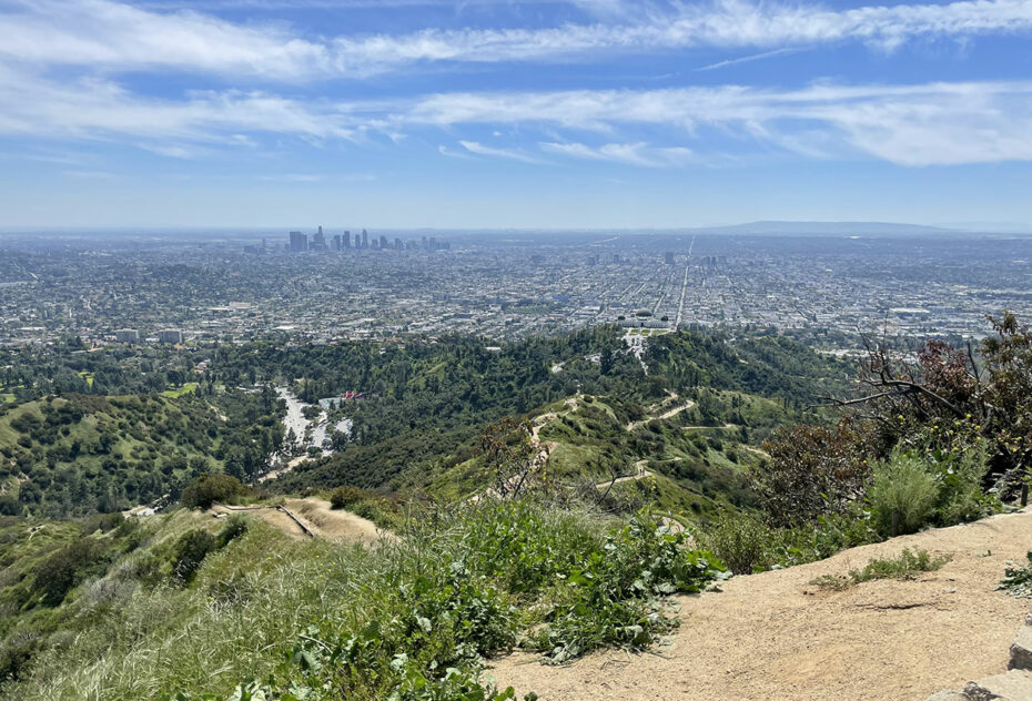
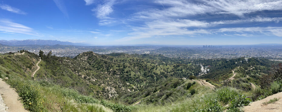
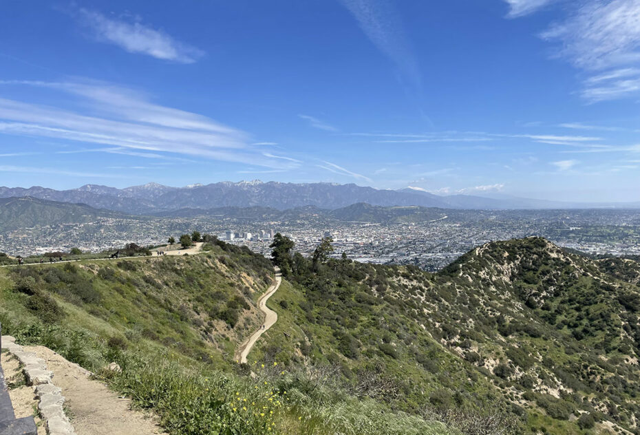
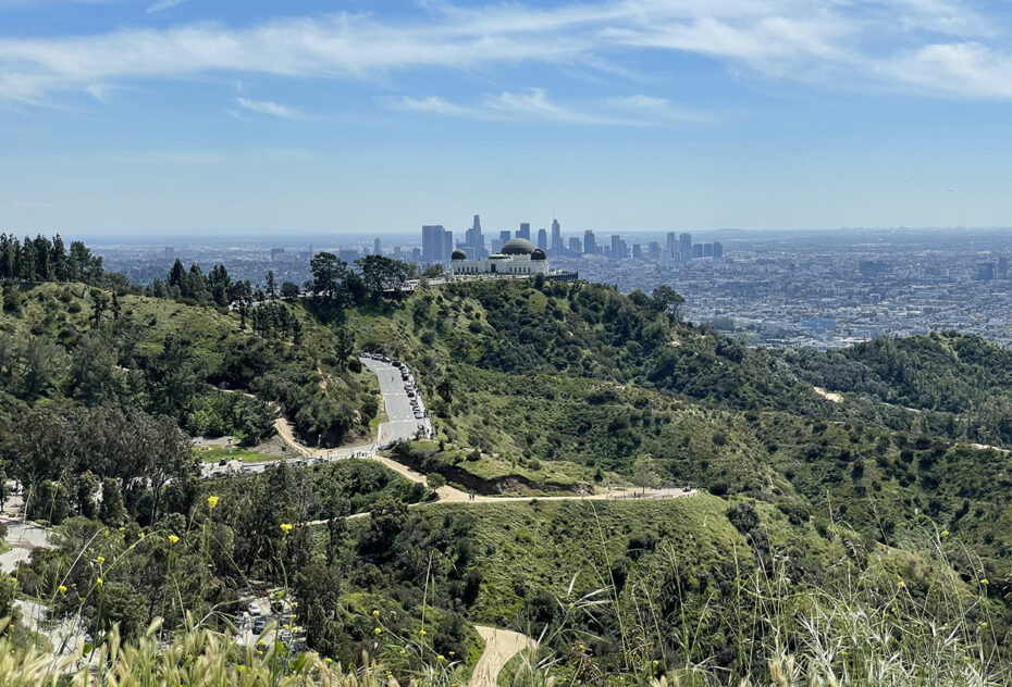
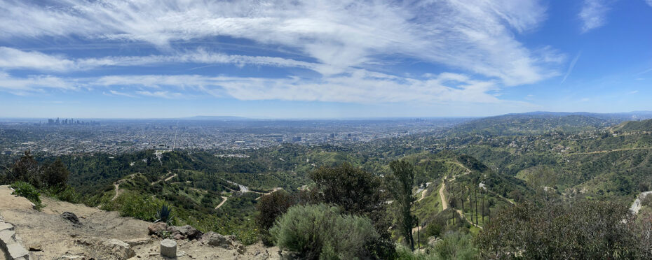
From the Griffith Observatory parking lot, set off for a short climb along the narrow ridgeline dividing Vermont Canyon to the east and Western Canyon to the west, which leads to Berlin Forest. Climb the right (east) branch of the Mount Hollywood Trail to Dante’s View, where a water fountain and picnic tables suggest a stop for hikers. Dedicated volunteers maintain the garden. Continue the short distance to the top of Mount Hollywood and enjoy the view. Retrace your steps or complete the loop west of Mount Hollywood, passing Captain’s Roost, a rest area, to join the Charlie Turner Trail.
The hike to Mount Hollywood was made on March 26, 2023.
The map below shows an out-and-back version to Mount Hollywood via the West Face and Captain’s Roost.
Click on the picture to enlarge it and discover its caption.
We recommend you take along a 1:25000 paper map of the hike. Always take care when hiking. Topexpos Voyages and the author of this fact sheet cannot be held responsible for any accident or inconvenience that may occur on this tour.
