
")
")


")
- Total elevation gain: 975 meters
- Duration: 6 hours 30 minutes
- Lowest point: Zermatt train station (1,608 m) / Highest point: Schwarzsee cable car (2,583 m)
- Difficulty: 3/5 (significant elevation gain and length of hike) / Technical: 1/5
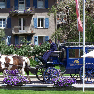
In Zermatt, a car-free town, the best way to arrive is by taking the little train that climbs up from the valley. From the station, head to the far end of the resort towards the Matterhorn, which already delights the eyes with its majesty. Then turn right onto the panoramic Edelweissweg trail. The high mountain landscapes unfold before you, alternating between green valleys and snow-capped peaks.
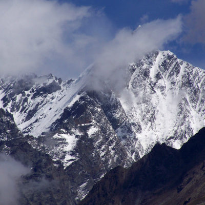
We then leave the Edelweissweg trail and take a small road followed by a steep path to the Stafelalp restaurant, where hungry hikers can stop for a bite to eat and sample various lamb specialties, excellent wines, and desserts, including the famous tarte Tatin, the house specialty. From here, you can see the north face of the Matterhorn, which is less well known than the view from Zermatt, but just as impressive.
After this well-deserved break, we continue along the fairly wide Matterhorn Trail, which climbs gently at times and steeply at others, towards the Schwarzsee cable car station, giving hikers over an hour and a half to admire the north face of the Matterhorn and the imposing glacier. Upon arrival, there is another opportunity to take a break at the mountain restaurant in Schwarzsee, but in July 2011, the cold and bad weather quickly forced us to find our way back. At 2,583 meters, it was snowing. Nevertheless, the landscape is magical, with peaks and moraines, pristine snow, and rocky walls.
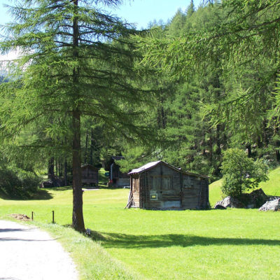
Behind the Schwarzsee hotel and restaurant, we head back towards Zermatt via Furi, with another 2 hours and 15 minutes of descent ahead of us. The start of the descent is perhaps the least interesting part, but as soon as we reach the mountain pastures, the green grass, abundant flora and discreet fauna allow us to finish this challenging hike with a smile. After Furi, we reach Zermatt, which we cross in the opposite direction to the train station to catch the train back.
The Zermatt-Schwarzsee hike was done in summer in mixed weather on July 25, 2011.
This map contains some approximate routes. We recommend that you take the SWISSTOPO paper map at a scale of 1:25,000 for this hike (1348 ZERMATT) with you. Always be careful and plan ahead when hiking. Topexpos Voyages and the author of this guide cannot be held responsible for any accidents or inconveniences that may occur on this route.
Click on the picture to enlarge it and discover its caption.