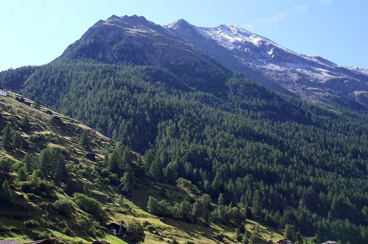
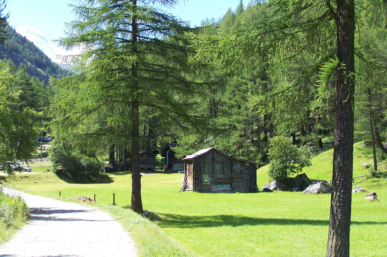
Switzerland

Articles from this Taxonomy

Le chemin dans la vallée qui relie Täsch à ZermattLe chemin dans la vallée qui relie Täsch à Zermatt

Photos of the hike from Täsch to Zermatt

Total elevation gain: 180 meters Duration: 2 hours 10 minutes Lowest point: Täsch (1,449 m) / Highest point: Zermatt (1,620 m) Difficulty: 1/5 / Technique: 1/5 After parking the car in Täsch in the valley, take the small flat path that runs alongside the river and the shuttle train line connecting Zermatt, the famous Glacier […]

Read more
Vallons verdoyants et forêts à flanc de montagne

Photos of Täsch, Switzerland

Perched at an altitude of 1,449 meters, the village of Täsch has a population of around 1,000. It is located 6 km from Zermatt, a tourist destination famous worldwide for its majestic emblem, the Matterhorn. Täsch symbolizes the gateway to the grandiose and fascinating world of the Swiss mountains par excellence. Travelers leave their cars […]

Read more
Go top