- Cumulative elevation gain: 200 meters
- Duration: 4 hours
- Low point: Car park above Santana (877 m) / High point: Caldeirão Verde (1089 m)
- Difficulty: 1/5 / Technique: 1/5
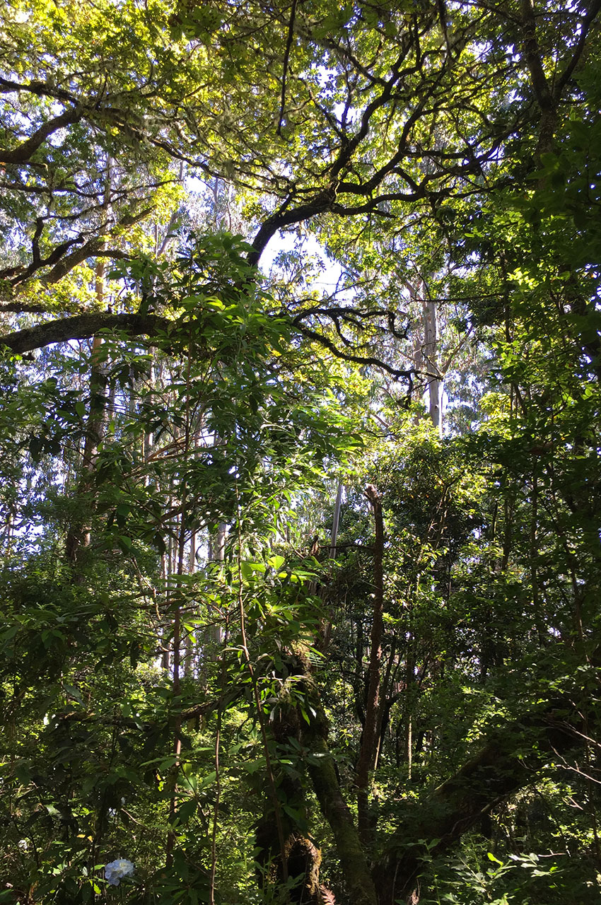
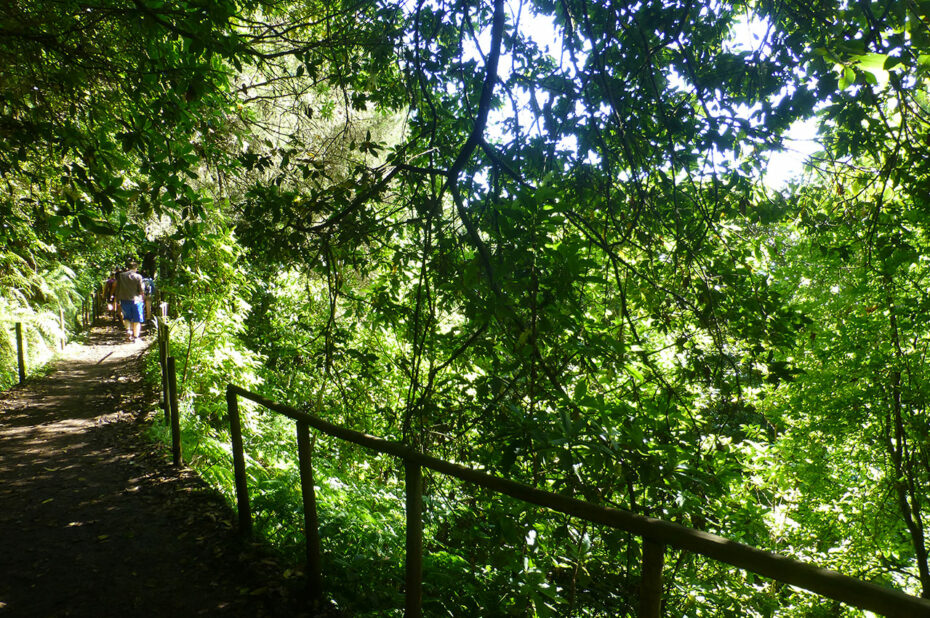
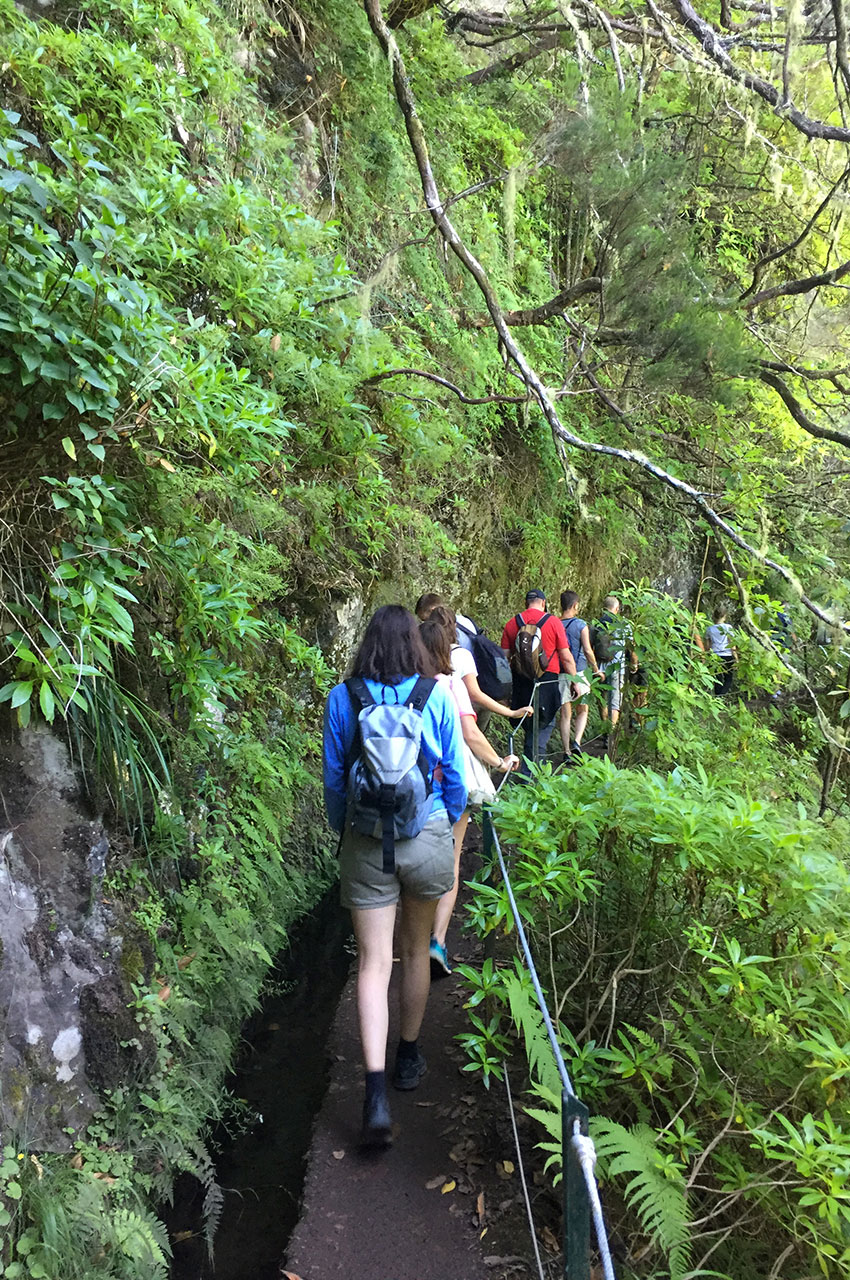
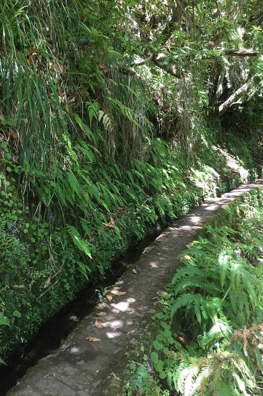
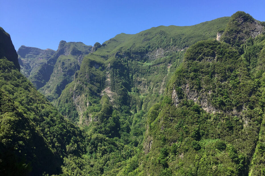
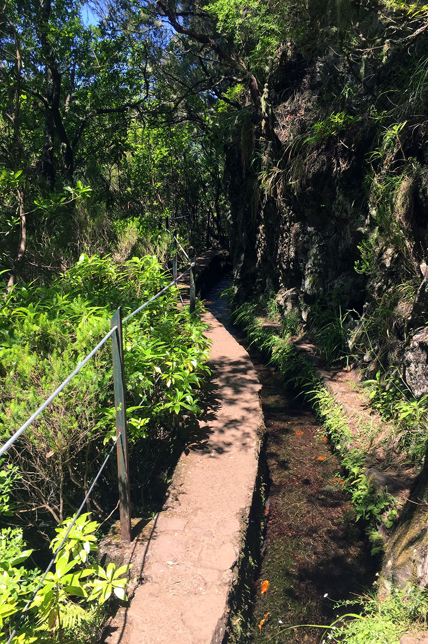
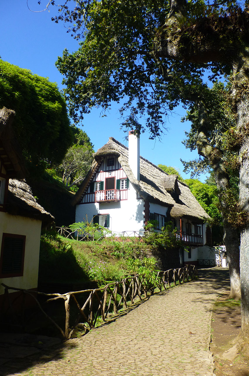
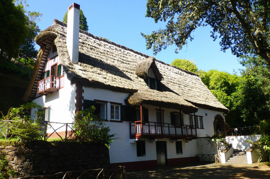
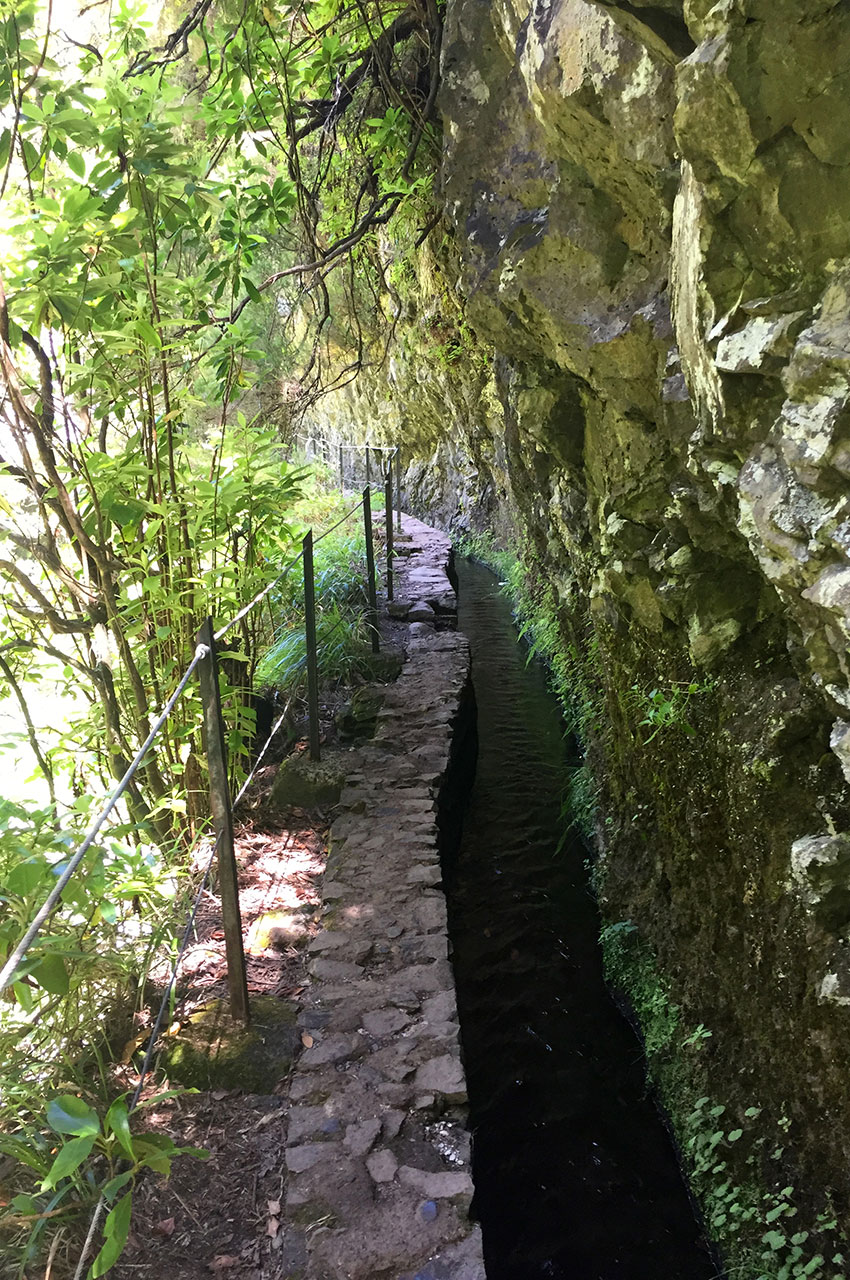
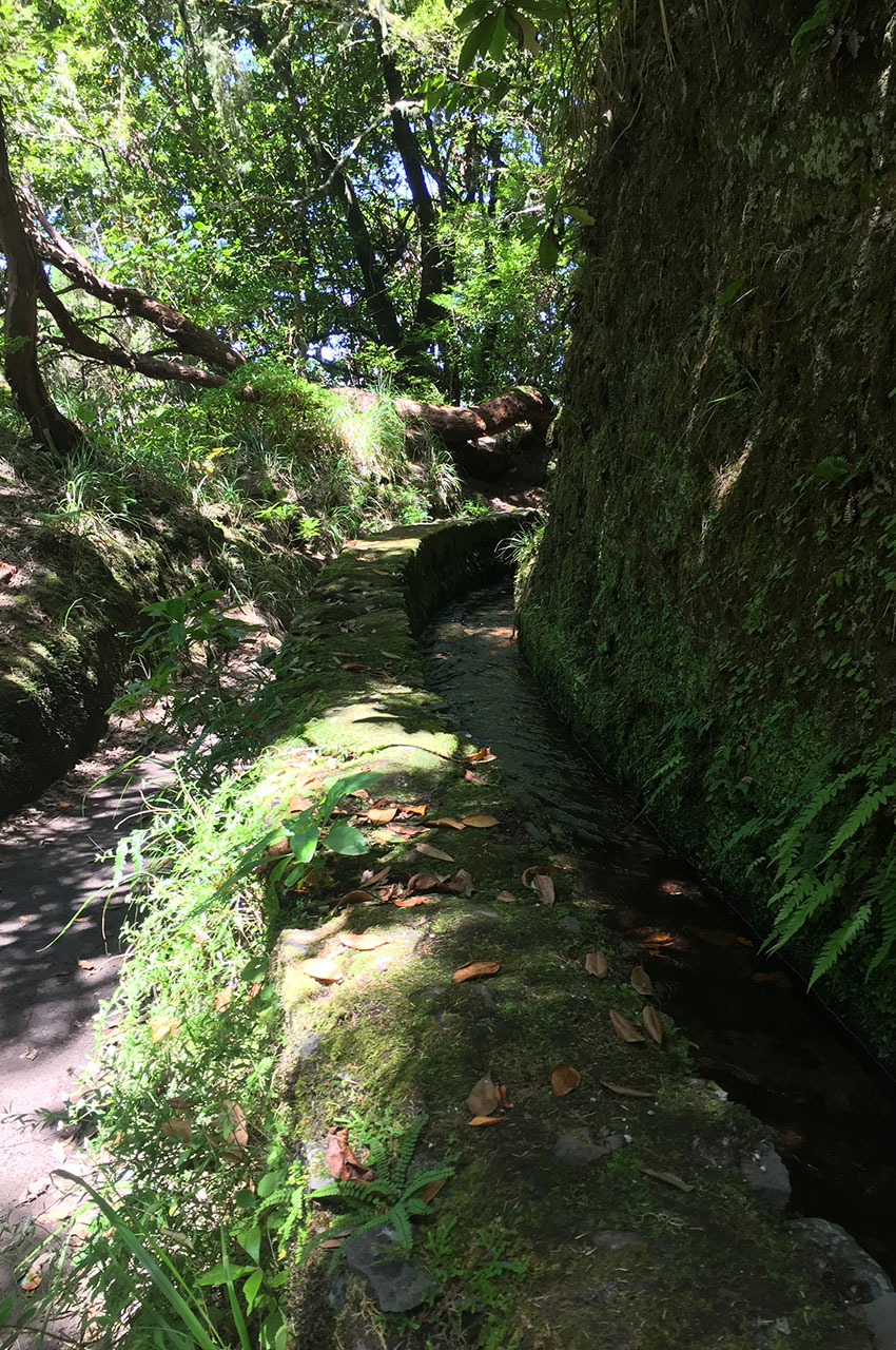
In the heart of the Queimadas Natural Forest Park, at an altitude of 980 m, just above the small town of Santana, lies the start of the magnificent levada do Caldeirão Verde hike. Set amid lush vegetation in Madeira’s laurel forest, the well-marked route follows the levada, making it impossible to get lost. The Caldeirão Verde levada (“green cauldron” in English) was built in the 18th century. It rises in the Ribeira do Caldeirão Verde and supplies water to the Faial lands, passing through the Ribeira do São Jorge valley.
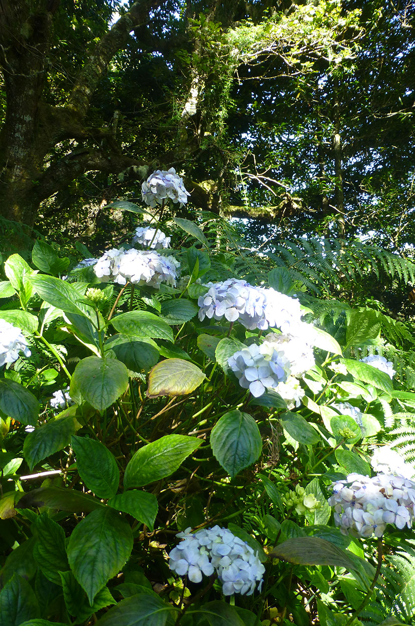
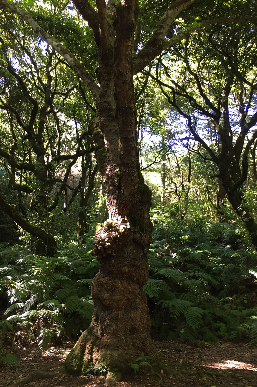
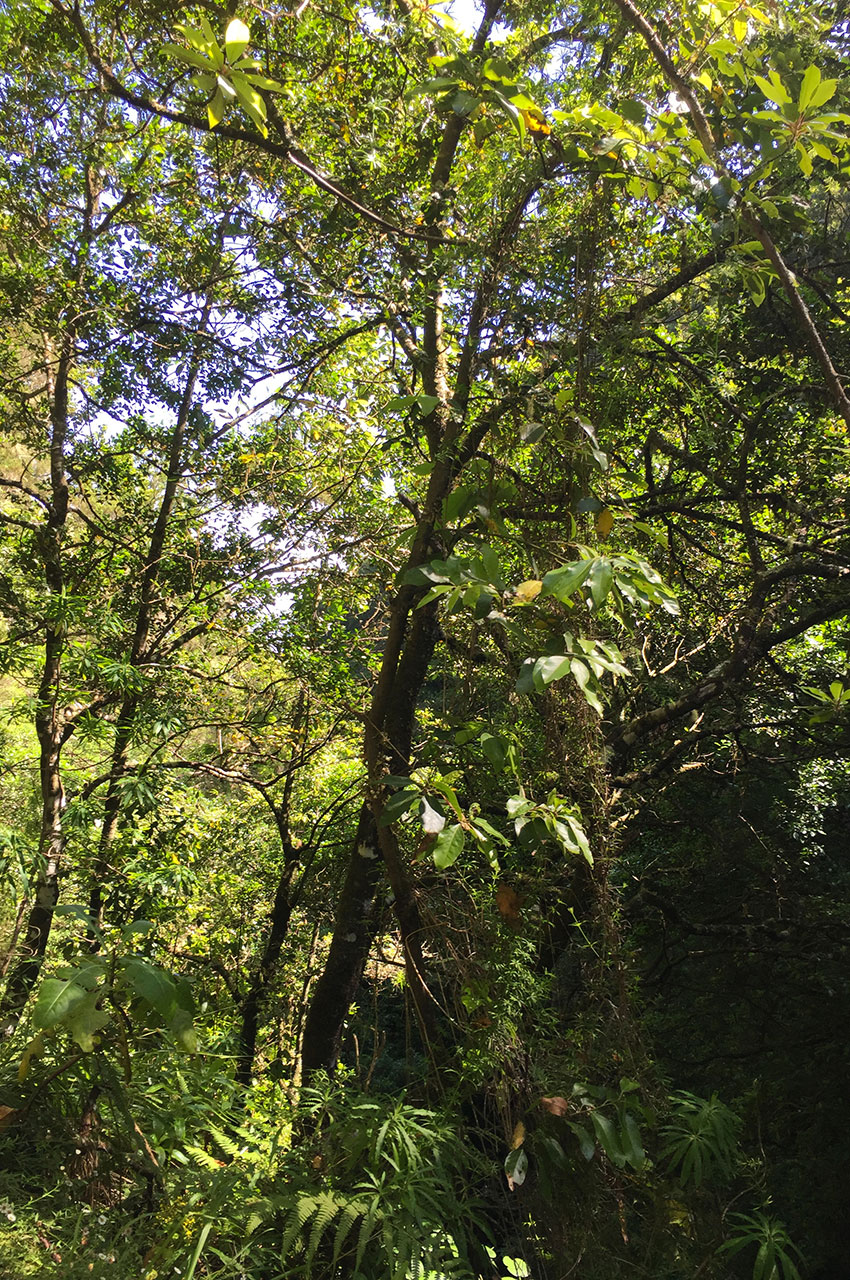
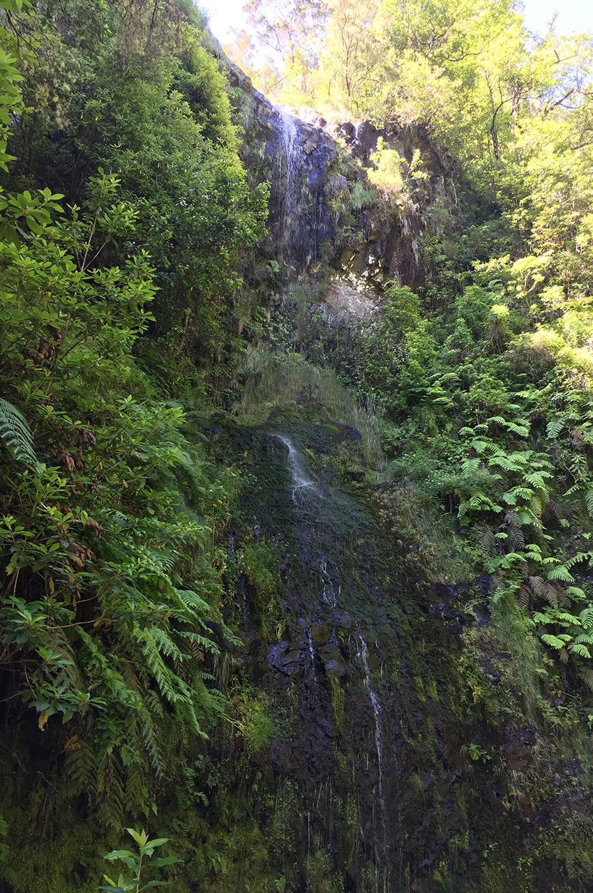
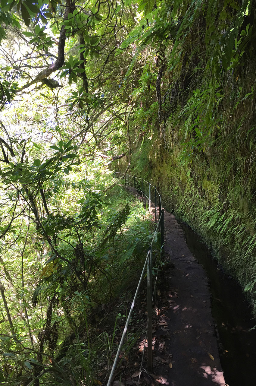
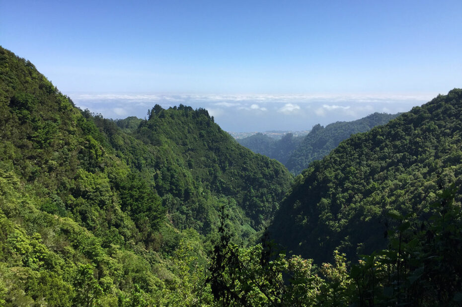
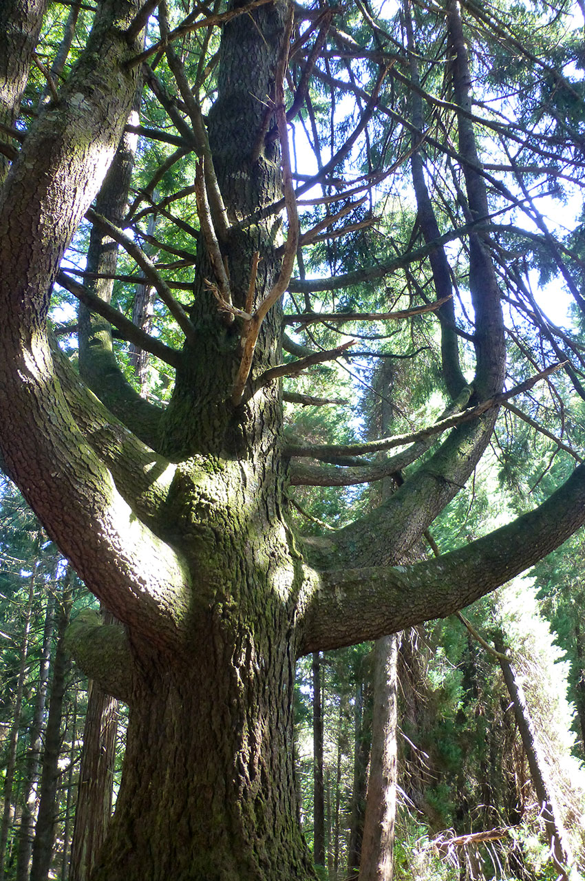
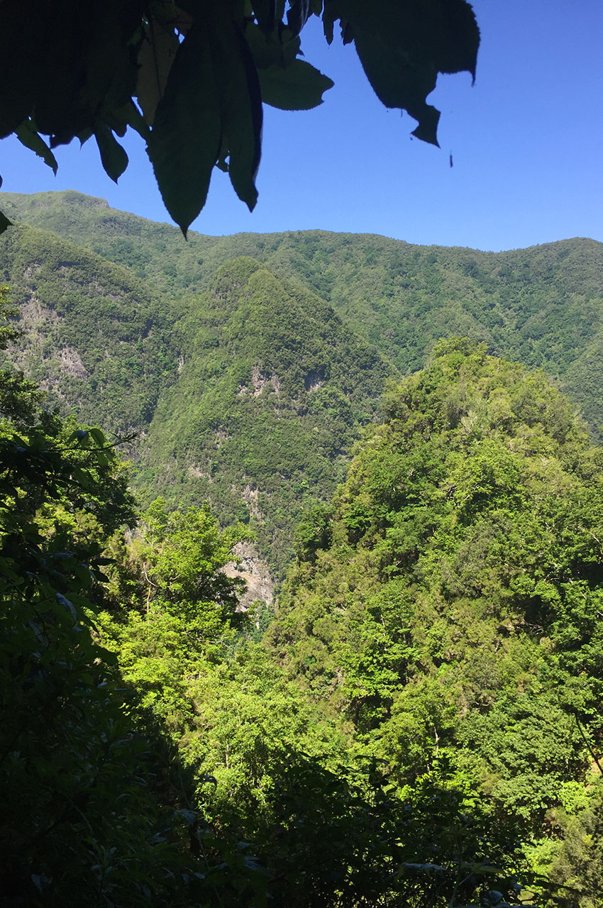
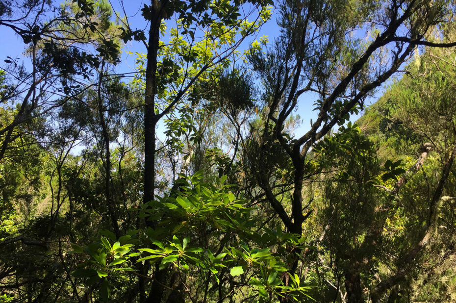
After walking for a while on the wide forest path adorned with hydrangeas, the landscape changes: the path becomes narrower, and emptiness omnipresent. All along the way, you can admire breathtaking scenery. At certain points, you’ll be able to catch a glimpse of the ocean – a real feast for the eyes. Small waterfalls and magnificent trees such as Japanese cedars and beeches, all part of the laurel forest, can be seen along the way.
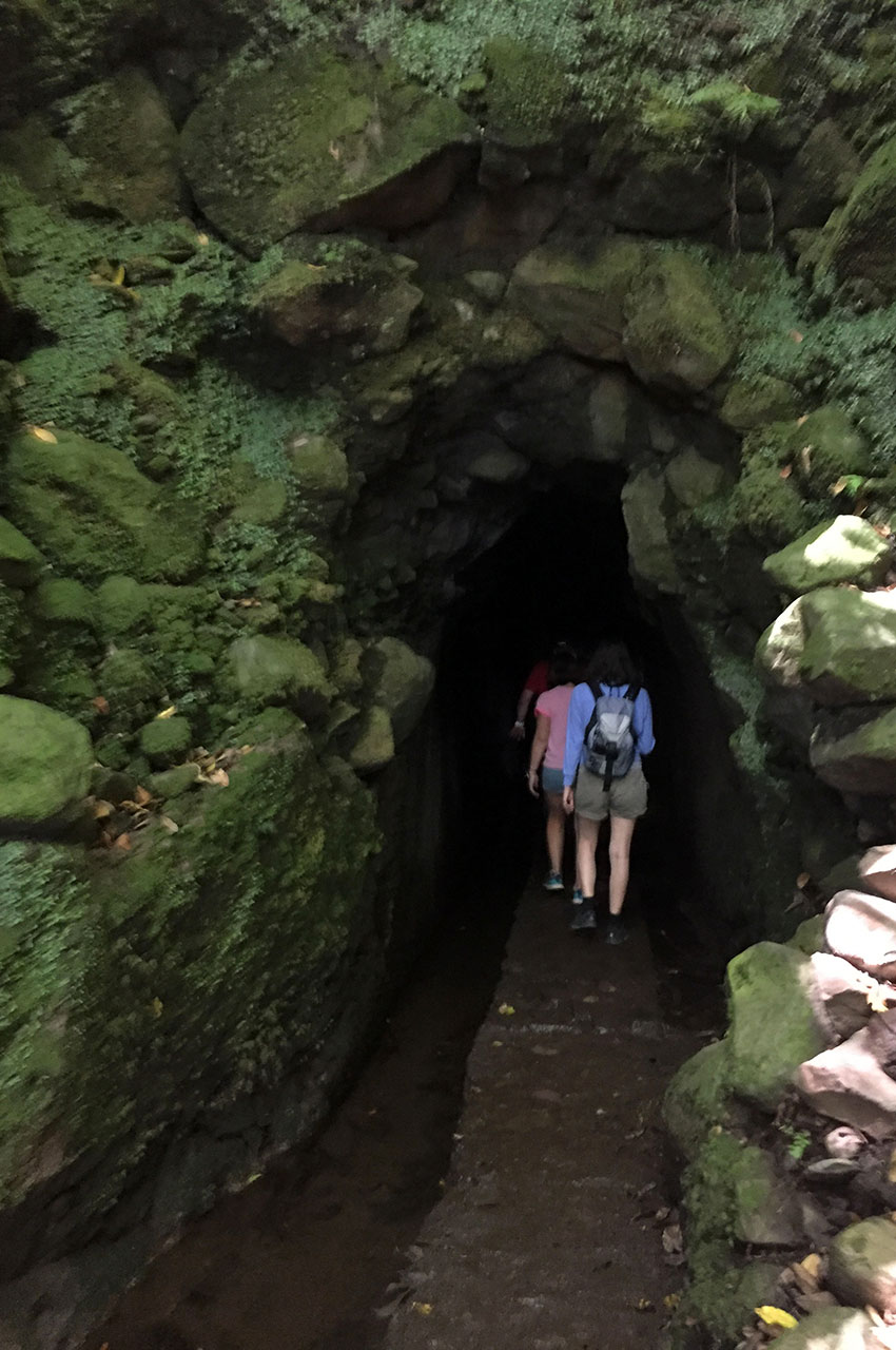
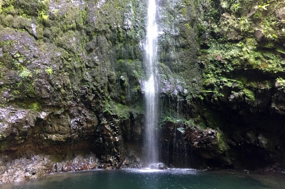
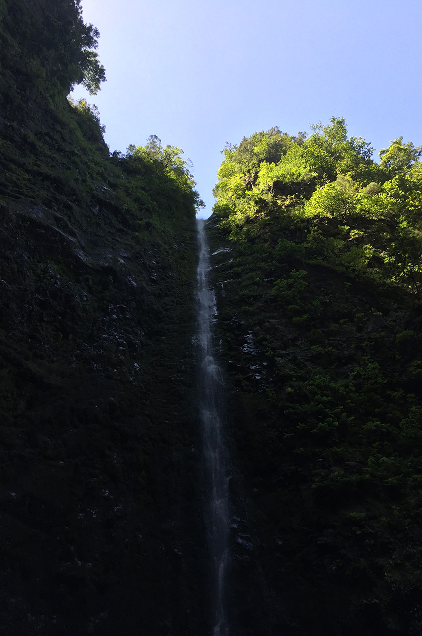
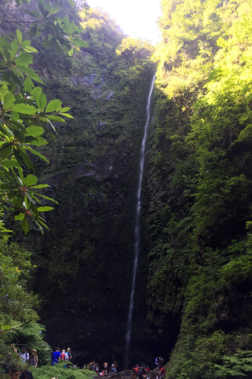
After crossing a total of four tunnels (a headlamp is essential, so watch your head), the Caldeirão Verde appears to the left of the levada. This cirque, with its 905-metre-high vertical walls, is truly impressive! A waterfall fills a small pond at the foot of the cliff. The return journey takes the same route, for a total distance of 13 kilometers.
The hike to levada do Caldeirão Verde was made on August 21, 2018.
Click on the picture to enlarge it and discover its caption.
We recommend you take along the 1:50000 paper Kompass map of this hike (234 – Madeira). Always exercise caution when hiking. Topexpos Voyages and the author of this fact sheet cannot be held responsible for any accident or inconvenience that may occur on this tour.
