


")
- Total elevation gain: 180 meters
- Duration: 2 hours 10 minutes
- Lowest point: Täsch (1,449 m) / Highest point: Zermatt (1,620 m)
- Difficulty: 1/5 / Technique: 1/5
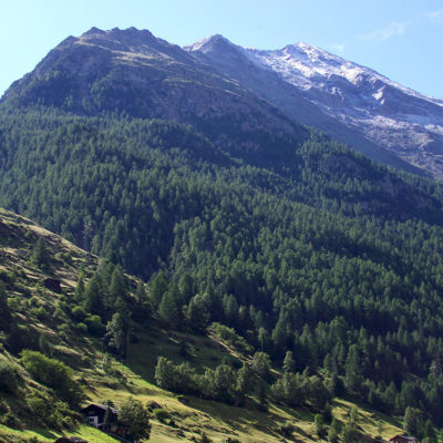
After parking the car in Täsch in the valley, take the small flat path that runs alongside the river and the shuttle train line connecting Zermatt, the famous Glacier Express. The start of the hike is very pleasant, passing through meadows and pastures. Then the climb begins, first with a short steep section in the forest, then a gentler slope alongside the train tracks.
This hike is suitable for families as it is not difficult, but we still recommend holding your children’s hands near certain sections without guardrails. As you pass by the large marmot colony, hikers will be greeted by whistles from the rodents, who are not disturbed by the noise of the train. And anyone who sits still will soon see one of these charming fur balls appear.
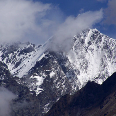
Then you arrive at a plateau, just before Zermatt, where the path winds through tall grass. Here you can encounter a variety of mountain flora and fauna, including herds of long-haired goats that will come to say hello on the path, closely watched by the shepherd’s dog. Just before entering the village of Zermatt, you can watch the red helicopters in action at the Air Zermatt heliport. During rapid takeoffs and landings, it is sometimes a matter of life and death. This is the case, for example, when helicopters return from a rescue mission and the rescuers are still swinging on the landing skids.
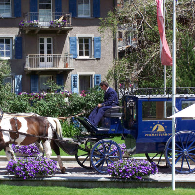
You can then take advantage of this short hike to explore, either on foot or by horse-drawn carriage, the unspoiled village of Zermatt and the majestic Matterhorn for which it is famous. The return trip to Täsch follows the same route.
The Täsch-Zermatt hike was completed in good weather on July 21, 2011.
We recommend that you take the SWISSTOPO paper map at a scale of 1:25,000 for this hike (1348 ZERMATT) with you. Always be careful and plan ahead when hiking. Topexpos Voyages and the author of this guide cannot be held responsible for any accidents or inconveniences that may occur on this route.
Click on the picture to enlarge it and discover its caption.